Tesla builds its own maps after years of saying it did not need them
The automaker is developing a proprietary mapping system to fix navigation errors, a move that contradicts its long-standing criticism of competitors who rely on detailed road data.
By Hassan Bello ·
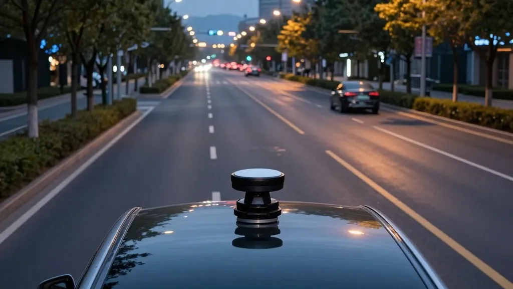
Tesla is currently building its own mapping system to address persistent errors in its Full Self-Driving software. This initiative marks a significant departure from the company's previous stance, as the automaker spent years arguing that self-driving systems relying on external maps are fragile and unnecessary.
The shift was confirmed during Tesla's third-quarter earnings call for 2026. Ashok Elluswamy, the company's vice president of AI, explained that Tesla is developing a new AI-based architecture for mapping and navigation. This system will rely on data collected from Tesla's fleet of vehicles rather than third-party providers.
The decision follows questions from retail investors who noted that mapping issues remain a major pain point for current users. Complaints frequently cite problems with reading speed limits, finding parking spots, and selecting efficient routes. Elluswamy agreed that Tesla should not depend on external maps and outlined a plan to integrate this new technology into the system gradually.
The new mapping features are expected to debut in version 15 of the software. Initially, the system will handle the start and end of trips. Over the coming months, it will take over broader navigation tasks, including destination handling and parking. The system is also designed to learn individual driver preferences and respond to voice commands.
This approach brings Tesla closer to the methodology used by competitors like Waymo. Waymo has long relied on high-definition maps created by its sensor-equipped vehicles to define service areas. While Tesla has historically dismissed this approach as a crutch, its new strategy involves using its own fleet to collect environmental data that improves the driving experience for all vehicles.
Tesla's history with mapping has been inconsistent. When launching Autopilot in 2015, the company stated it was building high-precision maps with data from customer cars. However, by 2019, CEO Elon Musk had reversed course, calling high-precision lane maps a mistake that made systems brittle. He famously dismissed lidar as a fool's errand, insisting that cameras and AI alone were sufficient for driving anywhere.
Recent data suggests that the vision-only approach has faced challenges. A Belgian road safety group found that Tesla vehicles exceeded speed limits in more than half of the zones they tested in Brussels. The cars often displayed the wrong speed limit on their screens. In the United States, regulators are also examining reports of vehicles speeding through school zones.
The new system is not a high-definition map in the traditional sense, but rather a layer built from fleet data. It aims to provide the context that the vision system often misses, such as specific road rules and environmental constraints. As Tesla continues to refine its Robotaxi service in geofenced areas, this internal mapping tool may become a critical component of its autonomous driving strategy.
Source: Electrek · original report published